Slovenia: Europe’s Emerald Alpine Sanctuary
An independent topography archive documenting sheer limestone peaks, primeval beech reserves, subterranean karst waters, and high-elevation shepherd settlements across the Julian Alps and Karawanks.
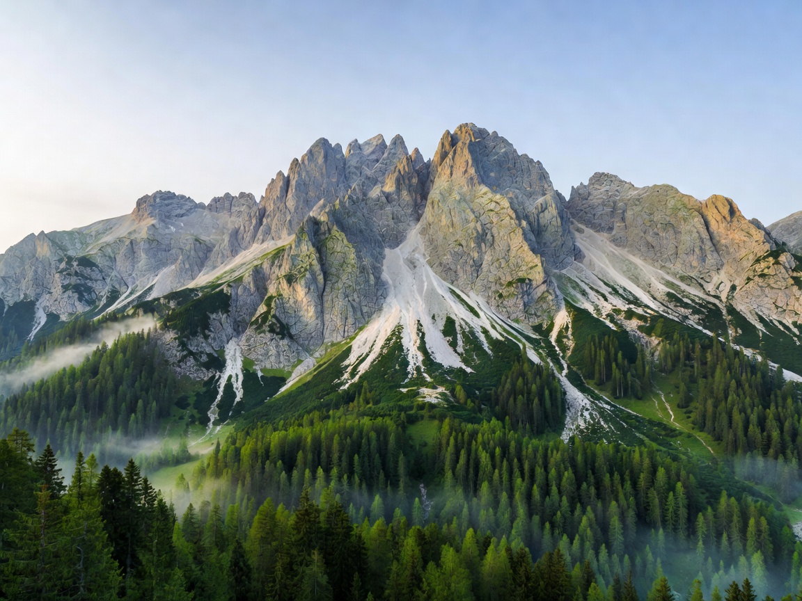
Regional Topographies & Field Chapters
Examine five distinct ecological corridors through Slovenia. Each monograph contains logistics, elevation profiles, conservation restrictions, and trail connectivity.
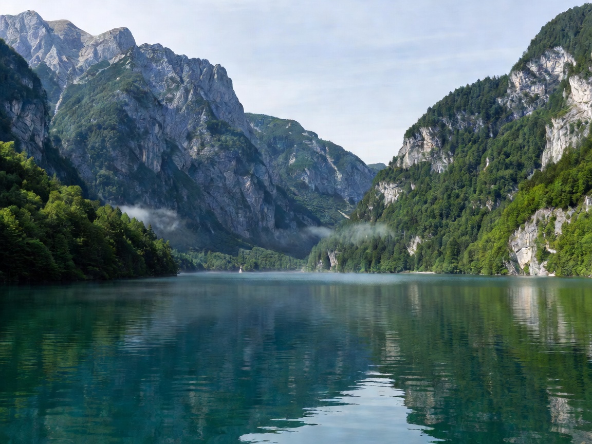
Glacial Waters: Bled, Bohinj & the Seven Triglav Tarns
From the thermal springs and island church of Lake Bled to the raw glacial basin of Bohinj and the high-alpine Valley of the Seven Lakes, explore water systems shaped by Pleistocene ice sheets.
Open Lake Monograph →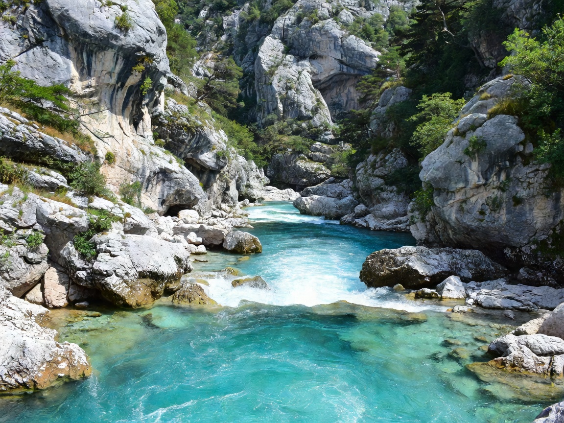
The Emerald Channel: Soča River & Gorges
Flowing past Bovec, Kobarid, and Tolmin, the Soča river represents one of Europe's cleanest river corridors. Renowned for marble trout, limestone gorges, and technical whitewater navigation.
Open River Monograph →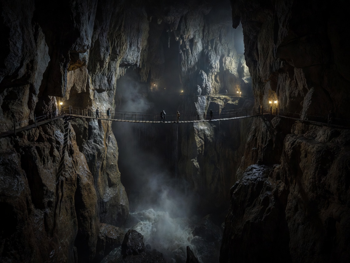
Underground Labyrinths: Postojna & Škocjan Caves
The global origin term for karst terrain. Discover massive subterranean river canyons, endemic proteus amphibians, and prehistoric passages carved through southern limestone plateaus.
Open Cave Monograph →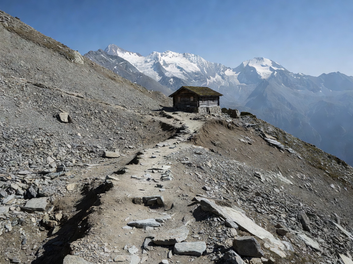
Julian Alps High Routes: Vršič, Triglav & Mountain Huts
A network of via ferratas and marked alpine trails connecting the Vršič Pass, Razor, Prisojnik, and Mount Triglav. Includes mountain refuge etiquette, weather windows, and safety protocols.
Open Hiking Monograph →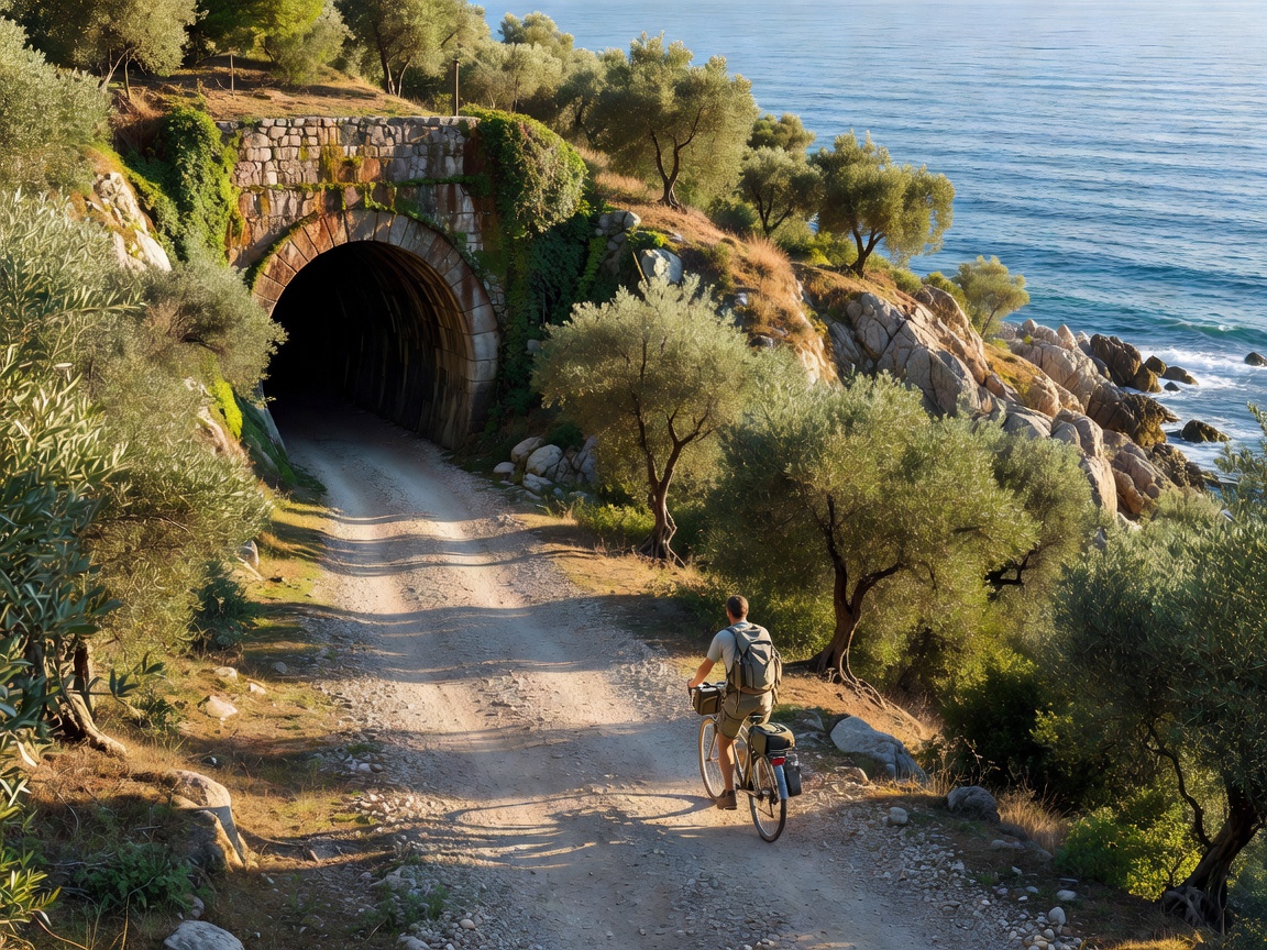
Long-Haul Trails: Parenzana, Drava & Gravel Byways
Traversing historic rail beds from Trieste to the Slovenian coast, gravel passes along the Drava river, and multi-day gravel circumnavigations across the Julian Alps and Logar Valley.
Open Cycling Monograph →The Principles of Slovenian Environmental Stewardship
How a small Central European nation sustains Europe's third-highest forest density while preserving open public access and alpine commons.
Slovenia occupies an ecological intersection where the Mediterranean basin, the Dinaric Alps, the Pannonian Basin, and the Julian Alps converge. Over 37% of the national territory is integrated within the Natura 2000 conservation framework, establishing strict parameters around forestry, water exploitation, and outdoor recreation.
Unlike regions where alpine access has been privatized or restricted to paywalled resorts, the Slovenian Alpine Association (Planinska zveza Slovenije) maintains more than 10,000 kilometers of mapped, volunteer-managed mountain trails. A red circle with a white center dot—the Knafelc blazon—serves as the universal marker across high ridges and forested ravines.
Under Slovenian forest legislation, citizens and travelers enjoy general public access rights to forest land regardless of ownership status, provided visitors respect wild animal shelters, do not leave vehicle traces, and collect wild berries or mushrooms only within established sustainable quotas.
When traversing these landscapes, field travelers are urged to honor the "Leave No Trace" ethos: camp only in designated municipal sites, refrain from wild fires in karst zones prone to summer drought, and support local mountain huts that transport food and supplies via cable car or footpack.